
Field Mapping & As-Built Documentation
Turning field conditions into accurate project documentation.
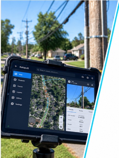
What We Collect
Field-verified mapping data collected to support accurate network records, construction documentation and as-built deliverables.
Route & Asset Mapping
Accurate mapping of network routes, handholes, pedestals, poles and related assets.
Construction Changes
Documentation of field changes, new construction and existing network conditions.
GPS & Location Data
Field-collected location points for assets and key infrastructure elements.
Photo Documentation
Georeferenced photos of assets, splice enclosures, handholes, pedestals and overall network conditions.
Aerial & Underground Plant
Mapping of aerial and underground facilities including spans, conduits and enclosures.
As-Built Deliverables
Clean, accurate mapping and documentation to support construction closeout and long-term network records.
Need Field Support for Your Next Project?
Tell us about your project and our team will get back to you.
Request Project Support →